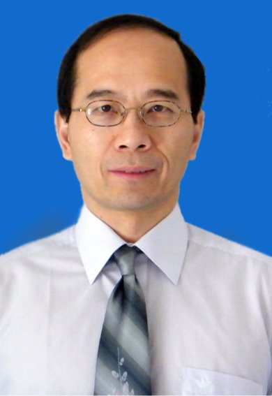
| Prof. Kegen Yu, IEEE Senior MemberChina University of Mining and Technology, China Prof. Kegen Yu received the PhD degree in electrical engineering from The University of Sydney, Australia, in 2003. He has worked for universities and research institutions in Australia, China and Finland. He is currently a Distinguished Professor with China University of Mining and Technology, Xuzhou, China. Prof. Yu has co-authored the book "Ground-Based Wireless Positioning" (Wiley-IEEE Press, 2009) and another book titled "Wireless Positioning: Principles and Practice" (Springer, 2018). Additionally, he authored the book "Theory and Practice of GNSS Reflectometry" (Springer, 2021). He has contributed to over 200 refereed journal and conference articles, including more than 70 articles published in IEEE journals. He was ranked in the world’s top 2% scientists list in 2022 by Stanford University and Elsevier. His research interests include GNSS-R, wireless positioning, and remote sensing. Title: Measuring Soil Moisture with GNSS Reflectometry |
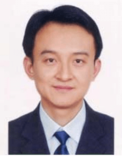
| Prof. Yong WangUniversity of Electronic Science and Technology of China, China Yong Wang received the Ph.D. degree in computer science and technology from the Institute of Computing Technology, Chinese Academy of Sciences, Beijing, China, in 2008. He is currently an Associate Professor with the School of Computer Science and Engineering, University of Electronic Science and Technology of China. His research interests include spatial database, spatial query processing, and privacy enhancing technologies. Title: BiSAR Data Analysis: An Approximation by Surface Scattering Modeling |
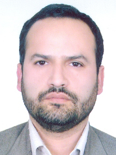
| Prof. Mahmoud Reza DelavarUniversity of Tehran, Iran Prof. Mahmoud Reza Delavar is Director, Center of Excellence in Geomatic Eng. in Disaster Management and Director, Land Administration in Smart City Lab., School of Surveying and Geospatial Eng., College of Engineering, University of Tehran. Dr. Delavar has received his BSc. in Civil Eng.-Surveying from Technical University of KNT, Tehran, Iran in 1989, MSc in Civil Eng. - Photogrammetry and Remote Sensing from University of Roorkee (Currently IIT Roorkee), Roorkee, India in 1992 and a PhD in Geomatic Eng.-GIS from University of New South Wales (UNSW), Sydney, Australia in 1997. He was the chair of International Society of Photogrammetry and Remote Sensing ISPRS WG IV/3 (Spatial Statistics, Analysis and Uncertainty Modeling) during 2016- 2022, chair of ISPRS WG IV/2 (Artificial Intelligence and Uncertainty Modeling in Spatial Analysis) during 2022-2024 and is the advisor of the same working group during 2024-2026. He is Iran's national representative to International Society of Urban Data Management (UDMS) since 2006. Prof. Delavar is founder of Iranian Society of Surveying and Geomatics Eng. (ISSGE) and is in the editorial board of ISPRS International Journal of Geo-Information (IJGI) and Geo-spatial Information Science (GSIS). Prof. Delavar is a member of International Society of Urban Informatics. Prof. Delavar has published 404 papers in reputable national and international conferences and Journals. Prof. Delavar has supervised 124 MSc. and PhD theses and Postdoc research so far. His research interests are in spatial data quality and uncertainty modeling, temporal GIS, disaster management, smart cities, cadaster, land administration, spatial data infrastructure (SDI), building information modeling/management, (BIM), multi-dimensional GIS, ubiquitous GIS, spatial interoperability, spatial data fusion, spatial data science, intelligent GIS, urban growth modeling, land use and land cover change modeling, and integration of remote sensing and GIS. |
| Prof. Zhi Gao, IEEE MemberWuhan University, China Gao Zhi, Professor and doctoral supervisor at the School of Remote Sensing and Information Engineering, Wuhan University, and Vice Dean of the Wuhan University College of Excellent Engineers, previously served as Vice Dean of the School of Remote Sensing, Deputy Director of the International Exchange Office at Wuhan University, recipient of the National High-Level Overseas Talents Program (Youth Project), Distinguished Professor of Chu Tian Scholars in Hubei Province, Outstanding Young Scientist in Hubei Province, and leader of major projects under the National Natural Science Foundation of China. Professor Gao Zhi's research focuses include remote sensing big data and intelligent interpretation of remote sensing images, computer vision, and intelligent unmanned systems. He has led 7 government-funded research projects in Singapore, 1 major project under the National Natural Science Foundation of China, 8 provincial and ministerial-level projects, and over 20 projects for multinational corporations. He has published more than 100 academic papers, including 68 SCI papers in top journals such as IEEE PAMI, IJCV, IEEE TGRS, and ISPRS J Photogram Remote Sensing, as well as 25 conference papers recommended by the China Computer Federation for Class A and B. He serves as a specially appointed expert for the China Association for Science and Technology's HaiZhi Program, editorial board member of 3 journals, and has been a program committee member and sub-forum chair at multiple international conferences, as well as deputy secretary-general of a specialized committee. Title: Research on Real-Time Remote Sensing of Surface Anomalies |


